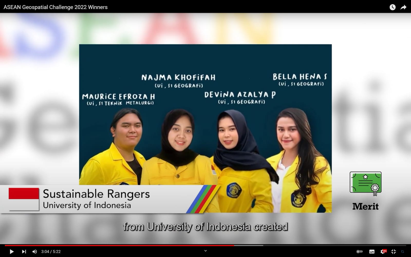
Four students from the Universitas Indonesia (UI) who formed the Sustainable Rangers team, again made achievements in the global competition ASEAN Geospatial Challenge 2022. Maurice Efroza (Faculty of Engineering 2019 class), Bella Hena Samira (Faculty of Mathematics and Natural Sciences/FMIPA class 2019), Najma Khofifah (FMIPA) class of 2019), and Devina Azalya (FMIPA batch 2019), are one of the teams that represent Indonesia in this international competition after in 2021 won the National Champion title in Indonesian Geospatial Challenges 2021.
In the competition, the Sustainable Rangers team proposed a project called One Map, Our Sustainability. This project utilizes a social mapping platform that provides freedom for everyone to contribute to the achievement of the United Nations’ Sustainable Development Goals (SDGs) through the ArcGis application. One Map, Our Sustainability emphasizes the inclusive nature of SDG’s equality, “no one left behind.” Carrying this theme, the UI Sustainable Rangers team won a Merit Award (equivalent to 3rd Place).
The ASEAN Geospatial Challenge is a competition that promotes the use of technology and geospatial information in order to support Southeast Asian countries in achieving the SDGs set by the United Nations. Besides the University of Indonesia, there were 26 other teams from 5 countries in Southeast Asia that participated in this competition.
“Efforts to achieve the TPB/SDGs target are a national development priority, which requires a synergy of planning policies at the national level and at the provincial and district/city levels. The Geographic Information System or GIS for short is unique when compared to other basic data management systems, which is its ability to present spatial and non-spatial information together,” said Maurice, who together with Bella Hena Samira are SDGs Student Ambassadors (Ambassadors of Campus Development Goals). UN Sustainable Development) Universitas Indonesia.
“By using GIS, we can do a spatial analysis to map the potentials in the territory of Indonesia. GIS makes it easier for users to make decisions related to spatial aspects. With the help of GIS to map the area, it is hoped that the government and the Indonesian people can map the potential of each region to detect the potential that can be utilized by regions in Indonesia. This research can help equitable development efforts in order to achieve the target of sustainable development goals in various aspects, as well as to involve the community to contribute well,” said Bella.
The Dean of FTUI, Prof. Dr. Heri Hermansyah, ST., M.Eng, IPU, said that the achievements in the ASEAN Geospatial Challenge are, “The active contribution of students to promote and encourage the implementation of the United Nations Sustainable Development Goals. Hopefully in the future the UN SDGs targets can become the norm in social life and not just goals and objectives.”
***
Public Communication Bureau
Faculty of Engineering, Universitas Indonesia

