Despite having a very sharp ability to detect objects, optical satellite systems have the potential to be unable to detect objects on the Earth’s surface due to cloud cover. To map flood disasters, the sensing time also occurs at the same time as the rainy season, so flood areas cannot be detected accurately.
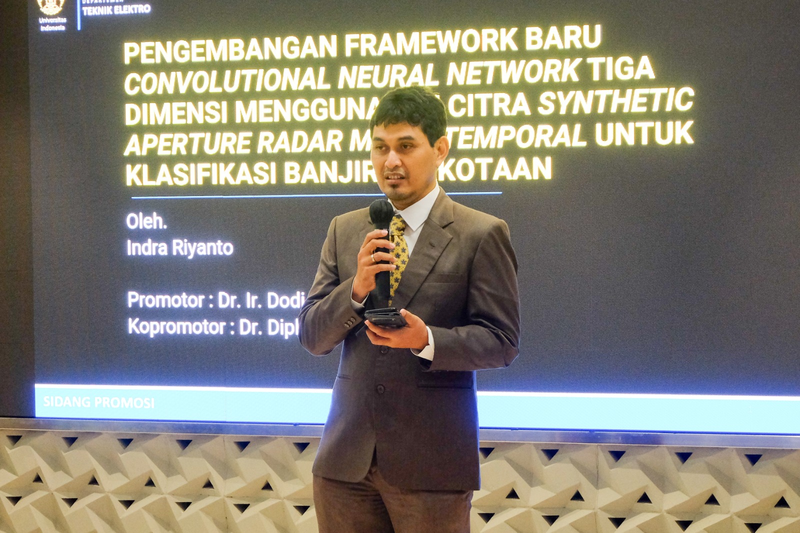
Indra revealed that one of the solutions for observing floods in areas covered by clouds is to use a Synthetic Aperture Radar (SAR) sensor. The resulting SAR image is a monochromatic image containing reflectance information from the observation area. “By observing the difference in reflectance in the form of backscatter before and after the flood, flood identification can be done effectively. The proposed framework that uses this sensor is developed to classify flooded areas in a case study of the city of Jakarta using the 3D CNN method. With the results of this method, it is hoped that it will help estimate the area of an accurate flood area and identify areas that have the potential to experience flooding in the context of early detection and prevention of flooding in other cities in the future.”
The Dean of FTUI, Prof. Dr. Heri Hermansyah, ST., M.Eng., IPU, stated, “The use of technology in the form of sensors as an effort to deal with floods carried out by FTUI doctoral students is an applicable solution to help estimate and identify areas that have the potential to experience flooding. It is hoped that in the future, the research conducted can continue to be developed and optimized so that the impact is sustainable. The existence of this research can also serve as a bridge between several universities and related institutions to collaborate. This collaborative relationship can be continued to grow mutual benefits for all the institutions involved. We, on behalf of the leadership of FTUI, congratulate Doctor Indra on the degree he has obtained.”
Indra Riyanto won his Doctoral degree with the title of Very Satisfying. He is the 157th Doctor who graduated from the Department of Electrical Engineering and the 506th doctor at FTUI. The doctoral promotion session was chaired by the Chairman of the Session, Prof. Dr. Heri Hermansyah, S.T., M.Eng., IPU, with the Promoter, Dr. Ir Dodi Sudiana, M.Eng., and Co-Promoter, Dr. Dipl-Ing. Rahmat Arief. The Examiner Team consists of Prof. Dr. Ing. Ir. Kalamullah Ramli, M.Eng., Prof. Ir. Ketut Wikantika, M.Eng., Ph.D., Prof. Dr. Ir. Anak Agung Putri Ratna, M.Eng., Dr. Prima Dewi Purnamasari, S.T., M.T., M.Sc., and Dr. Eng. Mia Rizkinia, S.T., M.T.
***
Bureau of Public Communications
Faculty of Engineering, Universitas Indonesia

